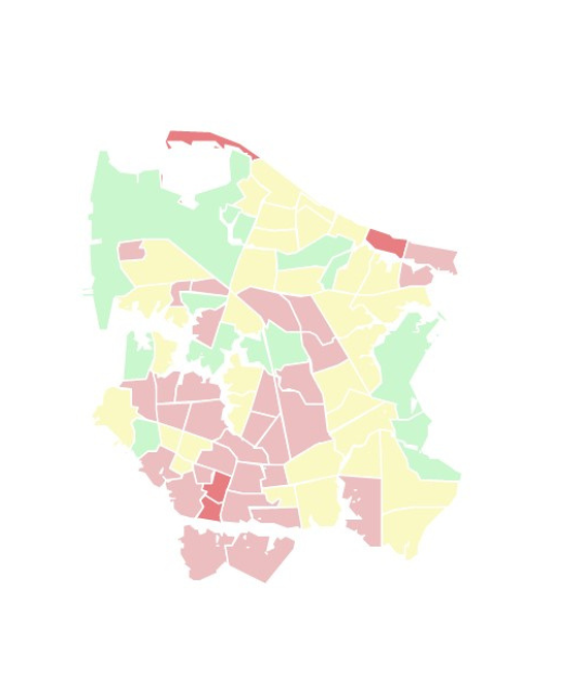
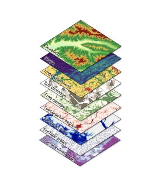
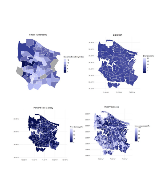
Typical flood risk assessments use physical parameters, like elevation and proximity to water. SURFR® includes physical parameters as well as social data, such as income, population density, and land use. SURFR® is also available for any area of the country, regardless of federal flood zoning, thereby increasing access to the knowledge needed to plan for resiliency and protect vulnerable communities.
SURFR® divides your city into Risk Management Zones (RMZs), which are geographic sub-regions of your city. RMZs can be anything of your choosing, including census tracts, modeled watershed basins, zip codes, or evenly spaced grids.
The SURFR® interactive map shows the SURFR® score for each RMZ in your city, what risk factors make up those scores, and how they compare to FEMA risk levels. Explore the map to learn more about how different risk factors contribute to flooding across your city.
Most communities know that they need to address climate change and the increasing risks that come along with it…but climate change is a big problem, and it can be difficult to know where to start, especially on a budget! SURFR® empowers communities to prioritize flood risk levels across their area so they can make informed decisions on where and how to focus efforts to address flooding. SURFR® can also be a valuable educational tool to keep your community members informed about local risks and how they help their community become more resilient.
Use SURFR to:
SURFR helps your community take on climate change and become more resilient.